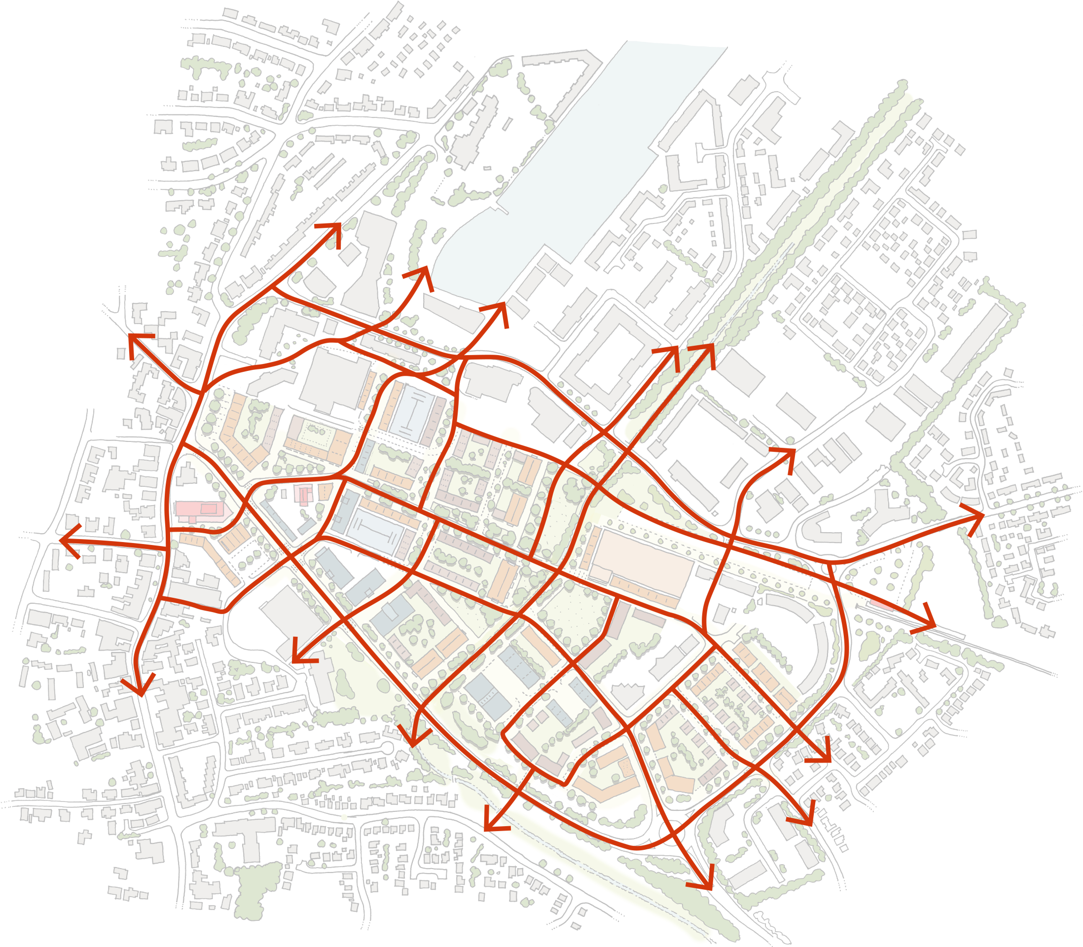
Delivering a connecting network of streets and routes for walking and cycling has been one of the consistent ambitions of this project. It tackles one of the big issues that has arisen as Portishead has grown over the last few decades, but without the connecting routes that could make short journeys really easy to do on foot or by bicycle.
The fragmented ownership in the area makes a comprehensive street pattern hard to deliver as a single project. However, the fact that different land owners need to coordinate their developments to deliver joined-up streets is one of the challenges which makes this framework important. Without it, there is a risk that piecemeal development will never produce a connected place.
A clear and attractive street network will help to make walking and cycling easier for some trips. Whilst it won’t replace every car journey it can replace some of them, giving healthy choices to more people. It will also make the town better for children and teenagers who don’t drive by creating a safe environment which gives them more independence.
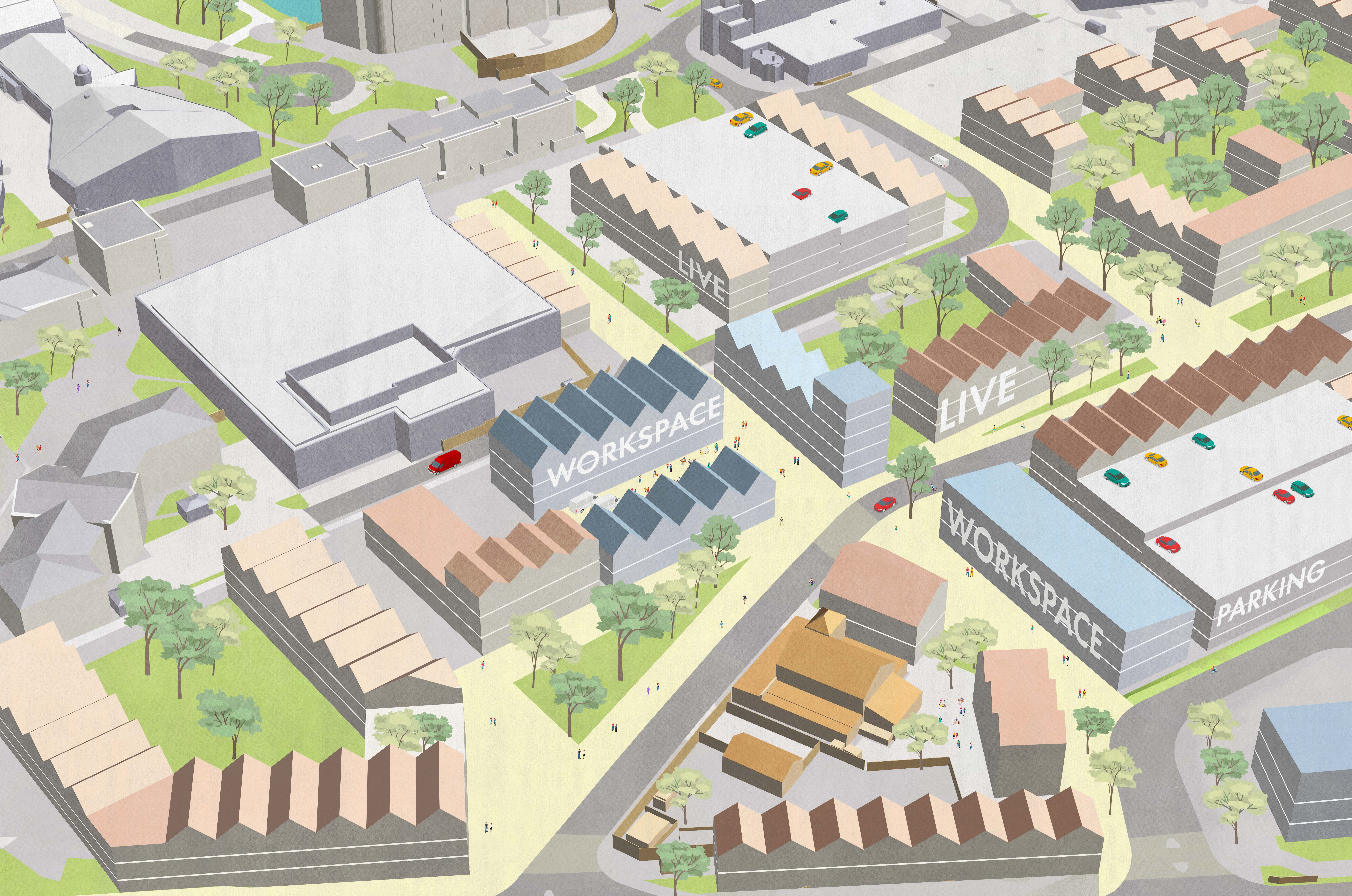
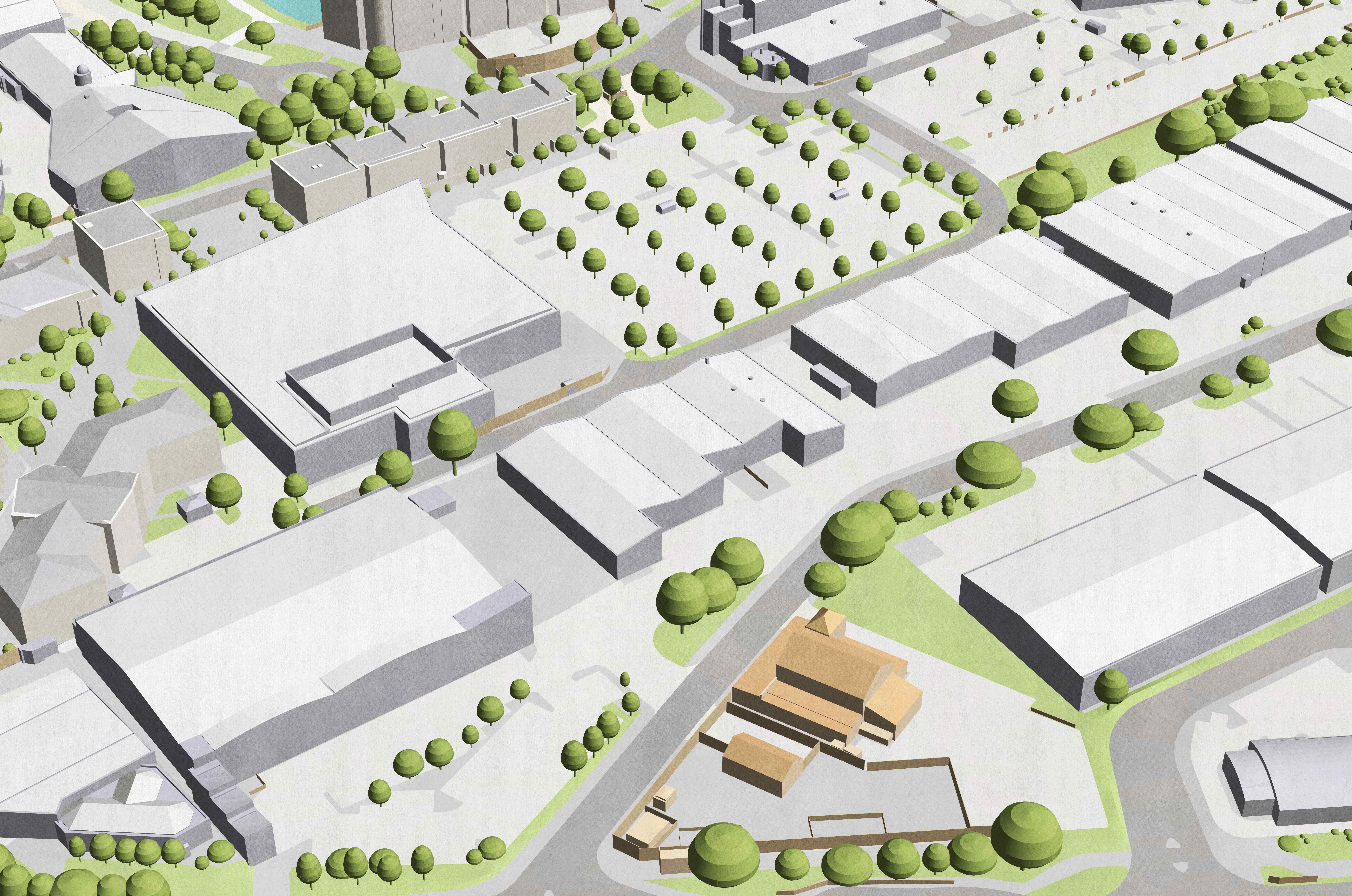
Scroll below to compare the existing layout with a potential vision for the future
This image shows the new connecting route from the High Street to Portishead Marina, through the Old Mill Road area. New buildings would include a mix of uses with workspace and commercial premises at street level and new homes above.


